MapBiomas
MapBiomas is a multi-institutional initiative involving universities, NGOs and technology companies that have come together to contribute to understanding the transformations of the Brazilian territory through the annual mapping of land cover and land use in Brazil
Amazon is the biome with the most pastures in Brazil
In the last two decades, the pasture area grew 40% in the Amazon and decreased in the Atlantic Forest (28%) and Cerrado (10%)
About one third of the airstrips in the Amazon are inside some protected area
An unprecedented MapBiomas survey identified 2869 airstrips in the biome
South American Pampas loses one-fifth of its grassland vegetation between 1985 and 2021
Native vegetation now covers less than half of the biome
Registration open for the 5th edition of MapBiomas Award
Highlighted Applications in Schools and Actions to Combat Deforestation are this year's novelties
MapBiomas receives Collective Social Innovation Award at World Economic Forum
Schwab Foundation recognized 16 initiatives from around the world for their impact and social innovation
Stay up to date
-
MapBiomas' Fire Monitor: November numbers
-
Radiography of the Brazilian coast in the last 37 years: stable mangroves, shrinking beaches and dunes
-
Amazon lost 9.7% of its natural vegetation in 37 years
-
Remote embargoes of deforested areas can speed up environmental enforcement in Brazil
Highlights
-
MORE THAN THREE DECADES OF DATA
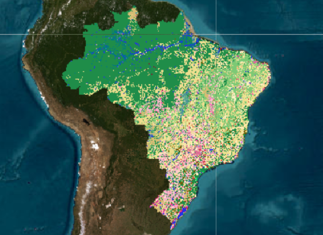
The MapBiomas Collection 7 of Brazil's annual maps of land cover and land use covers the period from 1985 to 2021 on a 30 m spatial resolution. This new collection has some improvements in accuracy in the biomes and two new classes (Cotton and Herbaceous Sandbank Vegetation), mapping 27 classes.
-
DEFORESTATION AND SECONDARY VEGETATION
Deforestation and secondary vegetation growth data for all Brazilian biomes from 1987 to 2019, including classification between native vegetation types and successional stage - primary or secondary native vegetation.
-
MINING INFORMATION
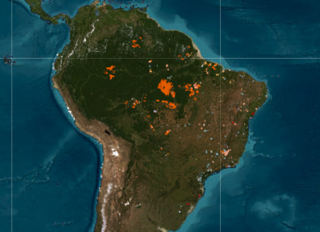
New data published on the evolution of industrial mining and mining areas from 1985 to 2020.
-
IRRIGATION AND GRASSLAND QUALITY
Check out new features and layers of information, such as the evolution of the irrigation area and the evaluation of pasture quality in Brazil.
-
THE IMPACT OF FIRE
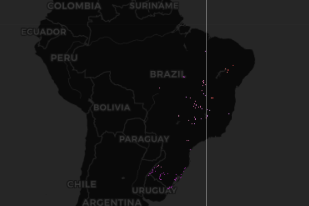
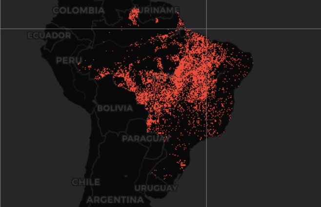
Data from Collection 1 of MapBiomas Fogo present the impacts of fire on the national territory over 36 years (1985 and 2020). In each of these years, Brazil burned an area larger than England: 150,957 km² per year, or 1.8% of the country. The accumulated result for the period reaches practically one fifth of the national territory: 1,672,142 km², or 19.6% of Brazil, with 65% of the total burned area being natural vegetation.
-
WATER SURFACE REDUCTION
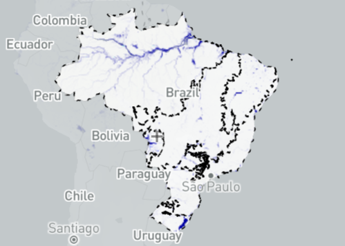
Where is the water that was here? Data from Collection 1 of MapBiomas Água presents the analysis of satellite images of the entire national territory between 1985 and 2021 and indicates a clear trend of water surface loss in all hydrographic regions from all biomes of the country.
Be part of Mapbiomas network
-
Create customized maps -
Join our forum -
Faq -
Downloads
Mapbiomas Network
An initiative of


Co-creators


Co-creators


Technological collaboration


Institutional support


Financing